

Readme
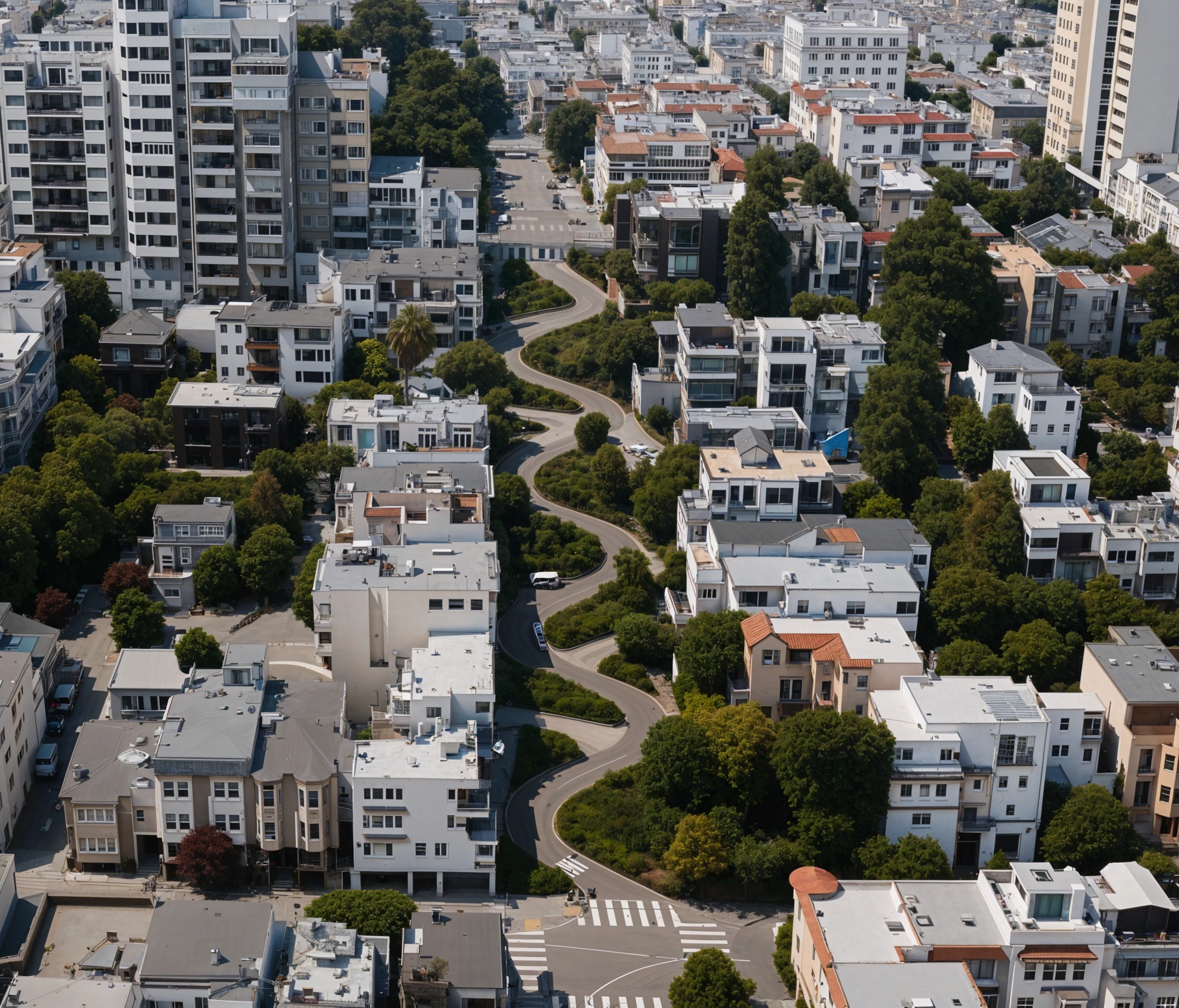
FLUX Kontext dev LoRA to turn satellite imagery into professional-quality aerial shots
Comes from Reddit user u/Alternative_Lab_4441: https://www.reddit.com/r/StableDiffusion/comments/1m401m1/trained_a_kotext_lora_that_transforms_google/
Here is the HuggingFace link to the LoRA (put up by lucataco): https://huggingface.co/lucataco/kontext-realearth
Here is the direct download from Alternative_Lab_4441’s website: https://form-finder.squarespace.com/download-models/p/realearth-kontext
This model chains together the real-earth LoRA from u/Alternative_Lab_4441 with philz1337x/clarity-upscaler on Replicate for a stunning, high quality end result.